
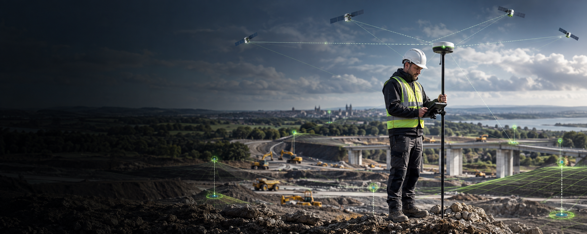
GNSS technology is used whenever a professional needs to establish an accurate position on the Earth. It supports land surveys, construction setting out, topographical work, utilities, asset mapping and machine guidance. Although the equipment can look compact, it combines satellite signals, corrections and field software to produce reliable coordinates.
What does GNSS mean?
GNSS stands for Global Navigation Satellite System. It is a broad term covering satellite constellations that transmit positioning and timing information. A GNSS receiver tracks signals from available satellites and uses them to calculate its location.
A standard consumer device may provide enough accuracy for navigation, but professional surveying and construction require much tighter tolerances. Survey-grade systems therefore use additional techniques and correction data.
What is RTK?
Real-Time Kinematic, usually shortened to RTK, is a method used to improve GNSS positioning in real time. A rover receives correction information from a base station or network service and applies it to the satellite observations. Under suitable conditions, this can provide centimetre-level positioning.
This immediate result allows the operator to collect points or set out locations without waiting for lengthy post-processing. Performance still depends on factors such as satellite visibility, communications, correction availability, the surrounding environment and correct setup.
How is GNSS used in surveying?
A surveyor can use a GNSS rover to record the coordinates of boundaries, levels, features and assets. Data is stored in field software and can then be used to create drawings, surfaces, reports or models. GNSS is especially effective in open outdoor areas where the receiver has a good view of the sky.
It can also be used for setting out, where design coordinates are transferred from a plan to the physical site. The field controller guides the operator to the required position, helping construction teams place points accurately and efficiently.
GNSS in construction
On construction projects, GNSS can support earthworks, foundations, drainage, roads, utilities and progress checks. It reduces reliance on manual offset measurements and can give site teams faster access to accurate position information. When connected with machine guidance or other digital systems, GNSS also helps link design data to work being completed on the ground.
What affects GNSS performance?
Professional GNSS is powerful, but it is not unaffected by its surroundings. Buildings, trees, bridges and other obstructions can block or reflect satellite signals. Users also need a suitable correction source, reliable communications and the correct coordinate system.
This is why equipment selection should be based on real working conditions. Features such as tilt compensation or laser measurement may help operators collect difficult points, but they do not remove the need for good surveying practice and appropriate checks.
Choosing a system
Consider the accuracy you need, the environments in which you work, the correction service available, the software formats you use and whether you need capabilities such as tilt or laser measurement. Comfort, battery life, support and training also influence everyday productivity.
Vivid Dynamics offers GNSS solutions for construction and surveying applications. Speak to our specialists or book a demonstration to compare the options in a practical setting.

