
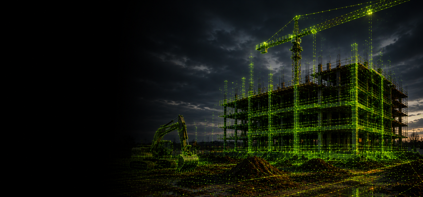
Construction projects depend on reliable information. When measurements are incomplete, out of date or difficult to share, small uncertainties can become expensive changes on site. LiDAR scanning gives project teams a fast way to capture detailed three-dimensional information about existing conditions and work in progress.
Here are seven practical benefits for contractors, surveyors, engineers and project managers.
1 Faster site data capture
A mobile LiDAR scanner can record large areas while the operator walks through or around the site. This can be far quicker than measuring each feature individually. Faster capture shortens fieldwork, reduces interruption to active areas and allows skilled staff to move on to analysis and delivery sooner.
2 A more complete record
Traditional measurements are often taken only at selected points. LiDAR produces a dense point cloud representing visible surfaces throughout the scanned area. This richer record can reveal spatial relationships that might otherwise be missed and gives office teams more context when making design or coordination decisions.
3 Fewer repeat visits
A missing measurement can cause delays, particularly when a site is distant, restricted or difficult to access. Comprehensive scanning makes it more likely that the information needed later is already available. Although every project still needs a suitable capture plan, a well-executed scan can significantly reduce avoidable return visits.
4 Better design coordination
Point clouds can support CAD, BIM and modelling workflows by giving designers an accurate representation of existing conditions. This helps teams design around real structures, levels and constraints instead of relying solely on old drawings or assumptions. Shared visual data also makes complex site conditions easier to discuss with clients and subcontractors.
5 Reduced rework
Rework frequently begins with inaccurate information, overlooked obstructions or differences between drawings and reality. LiDAR data can help teams verify conditions earlier, check progress and compare completed work with planned geometry. Finding a discrepancy digitally is usually faster and less costly than discovering it during installation.
6 Safer surveying
Some locations expose surveyors to traffic, unstable ground, working machinery or hard-to-reach structures. Mobile capture and appropriate mounting options can reduce the time people spend in higher-risk areas. Remote or vehicle-based workflows may also allow data to be collected from positions that are safer and more practical.
7 Stronger project documentation
A dated point cloud provides a detailed visual and measurable record of the site. It can support progress reporting, handover information, asset documentation and later maintenance. On long projects, repeated scans can show how conditions have changed and help create a clearer audit trail.
Getting value from LiDAR
The best results come from matching the equipment and workflow to the required output. Teams should decide what accuracy, coverage, coordinate system and deliverables are needed before scanning begins. Training and dependable processing software are just as important as the scanner itself.
Vivid Dynamics can help you explore the right mobile LiDAR solution for your projects. Contact our team to discuss your requirements or book a live demonstration.

